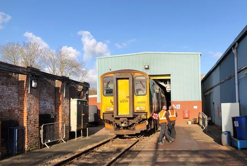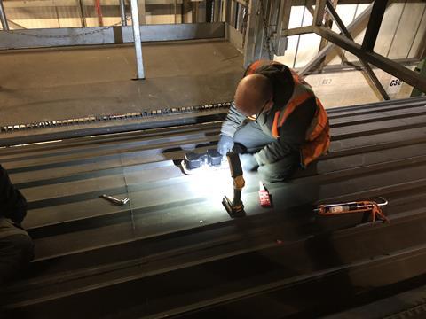
UK: Potential uses of very precise train location data are being assessed from a trial installation of Thales’ Robust Train Positioning System on a Great Western Railway Class 150 diesel multiple-unit.
RTPS combines data from satellite positioning systems, inertial and radar velocity sensors and a digital track map to locate the DMU with a high degree of precession without the need for lineside equipment. The sensors are off-the-shelf technology, helping to keep costs down. The location information is collated by the Thales software and transmitted continuously to its secure data centre in Cheadle for analysis.
‘When you combine all these things together in one system, suddenly you are able to do loads of really cool stuff’, Alex Stockill, Thales Product Line Manager, told Rail Business UK. ‘It is really easy to deploy as well’.
The Network Rail-sponsored trial is using a DMU in normal passenger service in southwest England to provide a continuous stream of realistic real-world data. The RTPS is not connected to the DMU’s onboard systems at this stage, and so there are no operational or safety implications of the trial.
Dozens of applications

‘We have dozens of applications we want to investigate to quickly test viability and conduct proof of concept demonstrations’, said Stockill. The trial ‘lets us test ideas at a low cost and high speed’, he explained, giving the ability to ‘quickly deploy and test new use cases.’
One application being explored is the provision of accurate information to signallers about a train’s location within a long block section, so that they can advise people when it is safe to cross a user-worked level crossing.
Thales is also looking at the possibility of interfacing RTPS with the Train Protection & Warning System which is fitted to British trains. This could make TPWS protection continuous throughout a route without needing to install trackside hardware. RTPS has a small physical footprint and is able to interface with the existing TWPS equipment, which would make retrofitting simple as the system does not need to take into account the rolling stock type.
The system would act ‘like an angel on the shoulder, to support the driver’, says Stockill. Driving would be exactly the same as today, with the system only intervening if there speeds or movement authorities were exceeded anywhere on the line.
According to Thales, RTPS provides location data within the accuracy required for ETCS. It believes this could provide a pathway towards the introduction of ETCS-style functionality on secondary lines where full ETCS deployment is not envisaged in the short to medium term.


